Steps toward a transit-orientated community in Clayton area
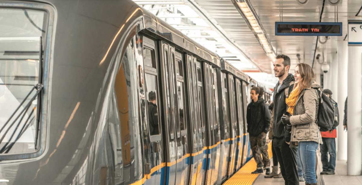
Plans for the Surrey-Langley Skytrain (SLS) translink project took a significant step forward with the release of the City of Surrey Corporate Report on April 1st. The report allows for background and planning studies to get underway for a business case that the Mayors’ Council and Translink Board will review on July 25th.
Mayor Doug McCallum’s election campaign promised the new Skytrain route. It is part of a bid to make the serviced areas into more transit-friendly communities without disturbing the current network of roads. Surrey is set to double in population by 2050, and the existing infrastructure will not be able to support a similar influx in car traffic. Building out sustainable transit solutions like the SLS will be key to future-proofing the livability of the surrounding areas.
Premier John Horgan said that for the project to progress there needs to be increased density along the corridor to justify the expense of the Skytrain. Looking at the proposed route, all the way from King George down the Fraser Highway, most of the land along the corridor is already built up.
West Clayton presents a blank slate for city planners
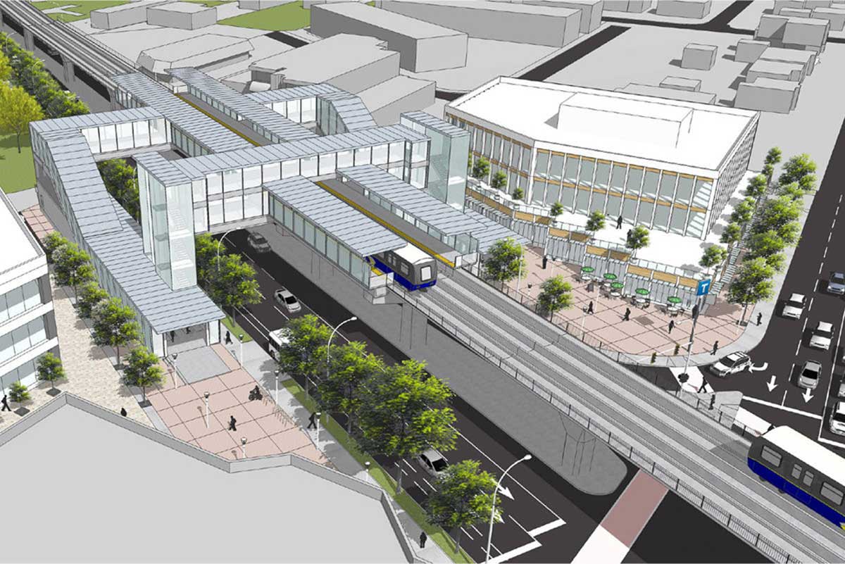
It’s likely to be where much of the neighbourhood development will happen. The sparsely populated area is an ideal location for developing a community from scratch that adheres to best practices; without having to tear down existing infrastructure.
Clayton Heights is likely to be rezoned with land being committed to amenities like housing, offices, schools, parks and shopping areas. The rezoning would transform this slightly rural suburban landscape into more urban surroundings. There is expected to be an emphasis on social and affordable housing in any plan that emerges. For any of this to go ahead, the current Neighbourhood Concept Plan (NCP) will undergo revision in line with density targets.
Councillor Brenda Locke suggested a freeze on developments along the Fraser Highway until a new NCP can be approved. However, a vote by Surrey Council on Monday, April 15th, rejected the motion to place a hold on current developments in the area. For now, it’s business as usual along the transit corridor, but developers and landowners may still be cautious, knowing that the rezoning is likely to impact their long term plans. Land use options are expected to be approved by the summer of 2020.
Concerns over the funding availability continue to surface. Some believe that the available $1.6 million may get the Skytrain to Fleetwood and others insist it will reach West Clayton. If the amount is insufficient for the proposed route, lobbying the provincial and federal government is always an option.
The Translink studies are the most significant planning exercise that the City of Surrey has ever undertaken and the report is a big step in a long process. The completion date for the first part of the line may be as soon as 2025, with construction tenders for a 2024 build out opening as early as 2021.
What are “Transit Oriented Communities”?
Simply put, transit-oriented communities (TOCs) allow people to drive less and walk, cycle or take public transit more. By focusing on coordinating land use and transportation plans, they allow for mixed-use, pedestrian friendly developments that help protect the environment and prevent traffic by discouraging unnecessary driving.
Studies show that on average residents are willing to walk 800 meters to a Skytrain, 600 meters to light rail and 400 meters to rapid line buses. These figures are what help define the high-density areas highlighted around the transit corridor.
TOCs focus on creating high-density areas where people can work, shop and live within walking distance of frequent transit stops and stations. These communities are designed to reduce long-term greenhouse gas emissions, reduce unsustainable urban sprawl, and support healthier lifestyles for their inhabitants. By carefully mapping out the transit corridor development areas, residents should reap the benefits of well-planned neighbourhoods for hundreds of years.

What is a density bonus?
Density bonusing is a policy tool used to help cities provide affordable housing and other amenities in high-density areas. It’s built into zoning requirements and allows for an increase in density in exchange for funds for amenities needed to support that density, enabling local governments to build out community infrastructure without having to impose taxes or fees.
The City of Surrey is most likely to implement an LLDB based on 75% of the lift in land value. So if the property is worth $1 million and its value rises to $2 million as a result of big infrastructure projects built by the city, then 75% of the lift in value is owed back to the city.
If you haven’t heard of the LLDBs, it’s common practice and is a sustainable way to build the amenities communities need. Several municipalities in BC already implement the land lift model; Burnaby requires 100%, Vancouver negotiates between 50-100%, and Abbotsford varies from 50-85%.
If you’re interested in having your say, make sure to sign up for CitySpeaks today.
AT

Our mission is to change the way “real estate” sales work by putting the power back into the hands of the homeowner. For too long, developers have been making massive profits by buying properties before their true value emerges and selling them again for significantly more without ever putting a shovel in the ground. We want to provide property owners with the education, guidance, and support needed to make sure they get the highest possible return on their real estate investment. So that they, and their families, can profit from their years of ownership.
Recent LandPlay Sales
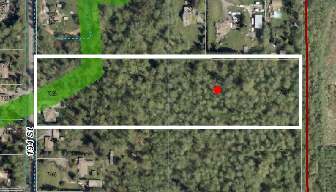
7507 & 7528 196 STREET, SURREY
9.5 Acres
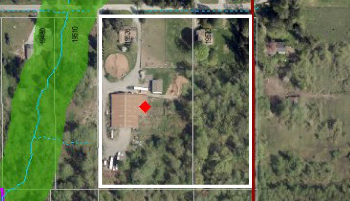
19526 & 19570 78 AVE, SURREY
8.3 Acres
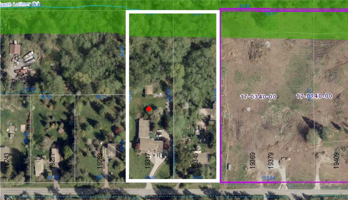
19317 & 19345 76 AVE, SURREY
5.1 Acres
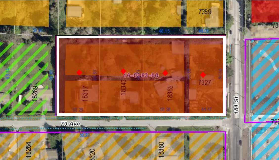
184 & 73 AVE, SURREY
4.42 Acres
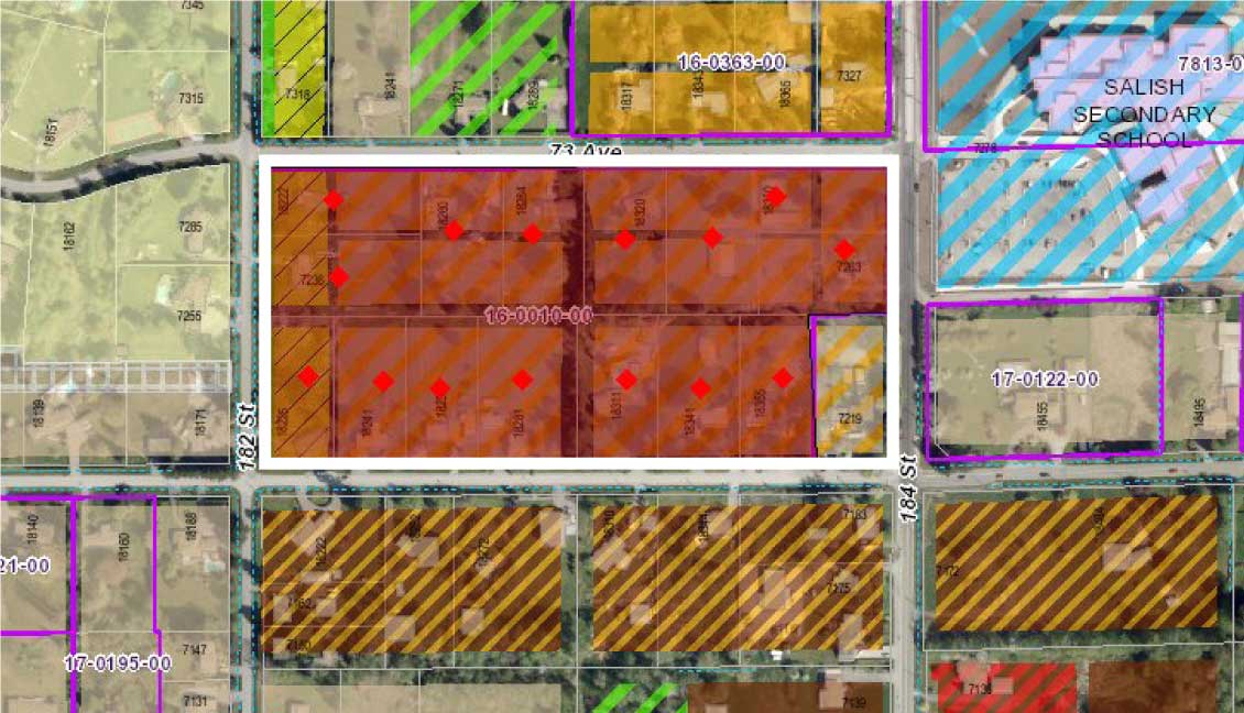
184 & 72 AVE, SURREY
16.34 Acres
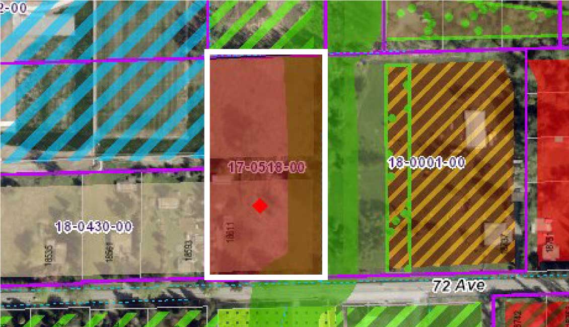
18611 72 AVE, SURREY
4.6 Acres
Office
7337 181 St.
Surrey, BC V4N 6B1
